As part of the iMPACT-erosion project, a research group at the University of Córdoba (UCO) has developed a set of digital tools designed to help policymakers, researchers, and land managers prevent soil erosion more effectively.
The tools—which can be tested on the project’s website—allow users to simulate erosion levels depending on region, climate, agricultural practices, and land management strategies. They are based on the RUSLE equation, the universal formula for calculating soil loss.
These tools are simple and visual, and have been scientifically validated to identify the key factors influencing erosion in a given area and help design mitigation strategies. They are particularly useful for decision-makers involved in soil conservation who may lack specialized training in erosion processes.
Erosion is a growing threat to Europe's food security. Climate change is intensifying extreme weather events—such as prolonged droughts or torrential rains—that accelerate soil loss through erosion.
Moreover, soil-conserving agricultural practices—like crop rotation, cover crops, or no-till farming—are still not widely adopted.
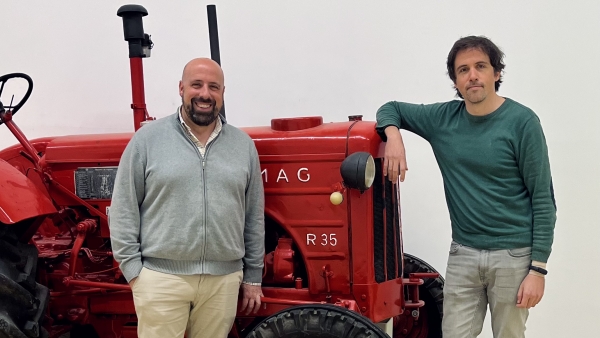
“Soil itself is like a water reservoir,” explains Andrés Peñuela Fernández, who co-leads the project with Tom Vanwalleghem and is a researcher in UCO’s Department of Agronomy. “If the soil is lost, that reservoir shrinks,” he adds. “Planting vegetation between olive trees part of the year,” he says, referring to ground covers, “protects the soil from erosion, improves water infiltration, and makes that water available to the plant during dry periods.”
Beyond worsening drought effects and reducing soil fertility, erosion pollutes nearby water sources and creates gullies and rills that lead to further losses. “These gullies can widen and even cause tree loss,” says Peñuela, “or make it impossible for machinery to pass.”
To illustrate the issue of soil loss in agriculture, the UCO research team—alongside the European Conservation Agriculture Federation (ECAF)—is also promoting the concept of Soil Footprint, which represents how much soil is "consumed" in crop production. This concept aims to raise awareness not only among farmers but also among consumers and policymakers about how agricultural practices impact soil sustainability, and how conservation agriculture can reduce that footprint.
However, this concept is still largely unknown, and many existing models for calculating soil loss due to erosion require highly specialized knowledge to translate results into concrete strategies. As a result, some decision-makers overlook key data and known factors related to erosion.
To address this, the iMPACT-erosion tools were designed with an educational approach, allowing users to learn from scratch using interactive graphics—without the need to download any specific software.
Another major advantage of these tools is their ability to robustly simulate long-term scenarios—spanning 50 to 100 years—which is essential for accounting for climate change in predictive models.
Unlike most current models, which rely on recent data to forecast future trends, the iMPACT-erosion tools are built using long-term historical data (spanning decades), obtained using two methods: measurement platforms around olive trees, and analysis of plutonium content in the soil.
“In the late 1950s and 60s, many nuclear tests were conducted,” notes Peñuela. “The plutonium found in soil worldwide comes from those tests,” he explains. “By comparing the plutonium levels in eroded soil versus undisturbed soil, we can estimate how much soil has been lost.”
Additionally, the research team performed a Global Sensitivity Analysis (GSA) to verify that the model parameters are accurate and that the outputs reliably represent erosion processes.
The project, funded by the European Union’s Horizon Europe program, is now entering its final phase, during which its results will be shared with the support of the Spanish Association for Conservation Agriculture and Soil (AEACSV) and the ECAF.
This report is included in the activities carried out in the project "Desarrollo de redes de asesoramiento y gestión de proyectos europeos I+D+i en la UCO" with acronym "DevelOPE", within the framework of grant GPE2023-001243-P financed by MICIU/AEI/10.13039/50110001103.


